

Image geolocation 2026 Rank: #3120
GeoSolver ✓
AI-powered geographic analysis from any image.
Free + from $5.83/mo
Verdict
A quick read before you dig into the full page.
- Best if
- AI-powered geographic analysis from any image
- Skip if
- Functionality limited to geolocation
- Pick this when
- Versatile geographic analysis platform
Considering GeoEvident instead? Compare side by side
Overview
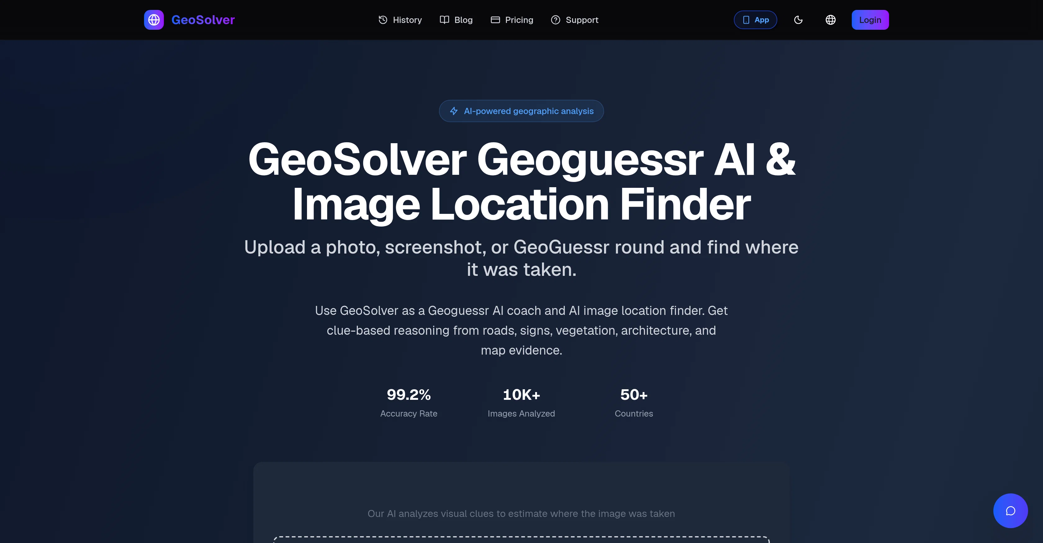
GeoSolver is a versatile platform offering AI-powered geographic analysis and location finding. It functions as a coach for the GeoGuessr game and assists users in identifying locations from images.
Users can upload a photo, screenshot, or a GeoGuessr round to extract visual clues, reasonings, and map-ready location evidence that suggest where the image was captured.
GeoSolver employs an advanced vision model, Gemini 3.1 Pro, trained on significant amounts of geographic data. It conducts a systematic evaluation of meta clues such as type of traffic bollard and the generation of Google camera evident in a GeoGuessr screenshot to produce an expert-level analysis.
This high-accuracy tool provides detailed geographical knowledge that encourages self-improvement and pattern recognition skills in users.The types of images that work best in this context typically include street-view styled images featuring clear road infrastructure, landmarks, signs, and architectural styles.
The platform is especially designed as a learning tool and to develop users' skills. If an image lacks GPS metadata, this tool can still determine the location by analyzing the picture.
In support of fair play, GeoSolver should be used in compliance with the specific regulations of a partner platforms or tournaments. However, the platform does lend itself to competitive gaming situations through its training capabilities and application of geographic knowledge.
Access & connections
Where you can use GeoSolver, and what it plugs into.
Platforms
Integrations
Capabilities
What this tool accepts, produces, and is strongest at.
Input
- Image
Output
- Geo
Highlights
- MCP
Supported features
- Image Understanding
- Assistant
- MCP
- Mobile Companion
Pros & cons
Pros
- Versatile geographic analysis platform
- Assists in GeoGuessr game
- Upload photo or screenshot
- Advanced vision model
- Trained on geographic data
- Systematic evaluation of meta clues
- Analyzes Google camera generation
- High-accuracy tool
Show 38 more
- Encourages self-improvement
- Helps develop pattern recognition skills
- Analyzes road infrastructure
- Analyzes architectural styles
- Identifies landmarks and signs
- Designed as a learning tool
- Analyzes images without GPS
- Compliance with fair play
- Applicable in competitive gaming
- Gemini 3.1 Pro employed
- Analyzes different types of images
- Suggests image location
- Identifies location from images
- Recognizes distinct traffic bollards
- Uses visual reasoning
- Encourages geographic knowledge
- Provides map-ready evidence
- Extracts clues from photo
- 99.2% Accuracy Rate
- 10K+ Images Analyzed
- Analyzes vegetation
- Clue-based reasoning
- Analyzes license plates
- Road markings analysis
- Tournament compliance certified
- Useful in non-GPS based location identification
- Analysis of geographic indicators
- Provides detailed regional analysis
- Preview before upgrading feature
- Finds photo location from any image
- Reverse Image Location functionality
- Supports screenshots without GPS metadata
- Independent third-party tool
- Built for educational purposes
- Not affiliated with official game platform
- Detects locations for private images
- EXIF analysis not required
- Can identify source context from image
Cons
- Requires high-quality images
- Accuracy dependent on visual clues
- Limited to specific landmarks
- Not designed for competitions
- Functionality limited to geolocation
- No API for integration
- Possible regulation conflicts
- Might not support diverse languages
Show 2 more
- Lacks real-time image analysis
- Premium plan for full details
Compare alternatives
Similar tools in the catalog — with a clear reason to open each one.

GeoEvident ✓
UnknownUnmask photo locations with AI geolocation intelligence.
No pricing
Full comparison
Picarta ✓
FreemiumFind where photos were taken using AI.
Why look Offers a public API
Full comparison

GeoInfer ✓
FreemiumLocate where any photo was taken no metadata required
Why look Offers a public API
Full comparison
GeoSeer ✓
FreemiumFind photo locations using AI geolocation technology.
Why look Offers a public API
Full comparison
GeoAxis ✓
Free TrialFind where any photo was taken no GPS needed.
Why look Typically cheaper
Full comparisonReleases 1
FAQ 12
What is GeoSolver?
How does GeoSolver assist in GeoGuessr games?
What types of images can be uploaded to GeoSolver?
How does the Gemini 3.1 Pro vision model enhance GeoSolver's performance?
What kind of clues does GeoSolver use to identify an image location?
Can GeoSolver identify a location from an image without GPS metadata?
How can GeoSolver be used in a competitive gaming setting?
Does GeoSolver violate any fair play regulations in gaming tournaments?
What is GeoSolver's accuracy rate?
What kind of geographical knowledge can users gain from using GeoSolver?
How does GeoSolver contribute to self-improvement and development of pattern recognition skills?
How does GeoSolver analyze a GeoGuessr screenshot?
Related tools
Recommended

Thea ✓
FreemiumAI study tools to master material, not just memorize it.

Recall ✓
FreemiumSummarize Anything, Forget Nothing!

Claude ✓
FreemiumBuilding reliable, interpretable AI systems

Distillr ✓
FreemiumDistill content with AI precision.

Gling - AI Video Editing Software for YouTube ✓
FreemiumAI-powered video editing for YouTube creators.

Collate ✓
FreeUnlimited free and private summaries and chat with PDF