

Image geolocation 2026 Rank: #2572
GeoAxis ✓
Find where any photo was taken no GPS needed.
Verdict
A quick read before you dig into the full page.
- Best if
- Find where any photo was taken no GPS needed
- Skip if
- Limited user interface language options
- Pick this when
- Identifies image location
Considering GeoEvident instead? Compare side by side
Overview
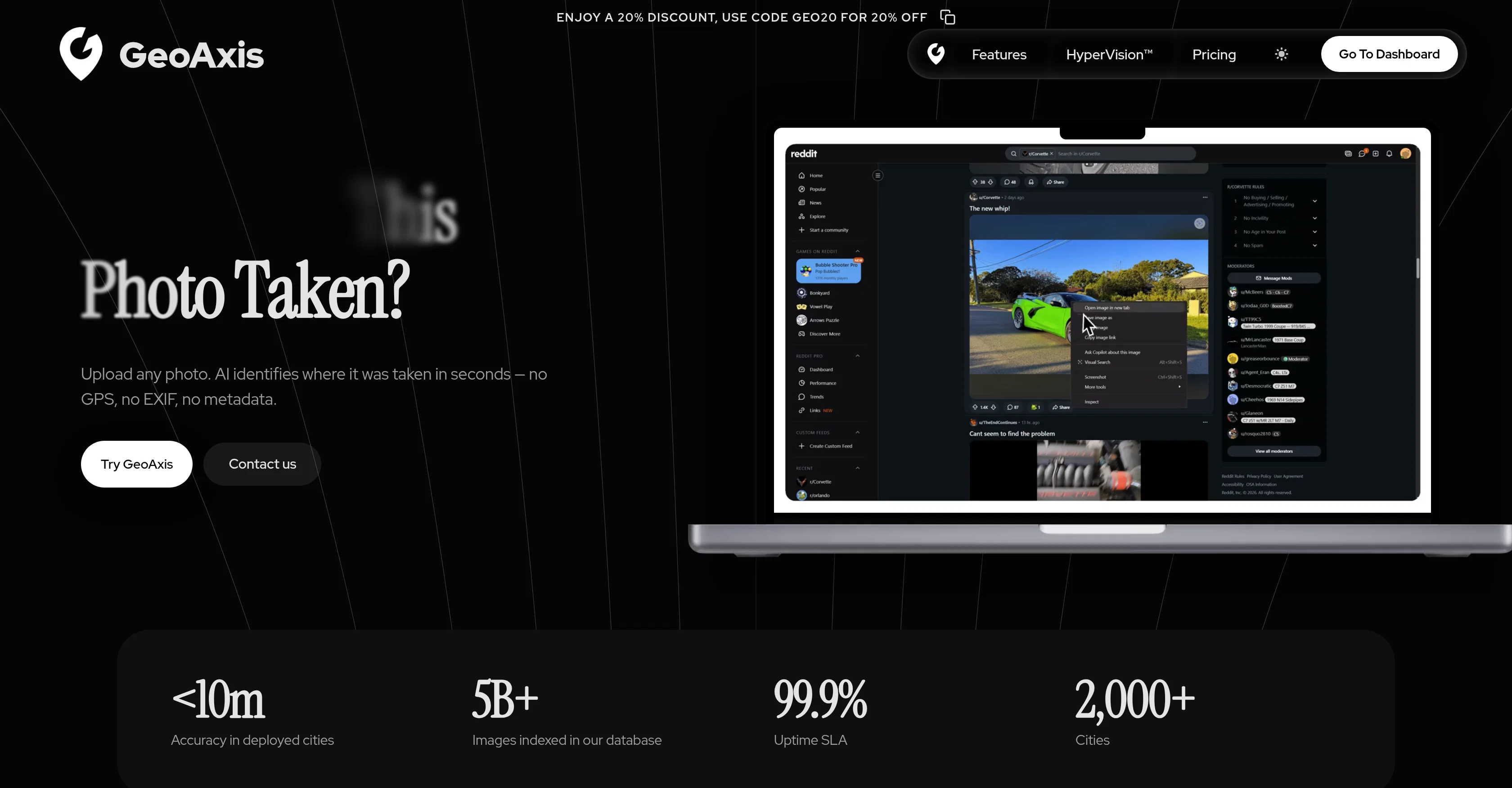
GeoAxis is an AI-powered solution designed to identify the location where a photo was taken. It requires no GPS, EXIF, or metadata, providing its services based solely on the visual content of an image.
This AI-driven image location finder analyzes scenery such as landmarks, terrain, vegetation, and architecture to accurately determine an image's photographing location.
Despite the complexity of the task, GeoAxis delivers results in mere seconds, allowing quick uploads and near-instantaneous location identification. GeoAxis offers an enterprise solution called 'HyperVision', designed for mission-critical applications, it offers custom city deployments, enhanced accuracy, and priority support.
The tool has proven useful in several sectors such as journalism, OSINT, and investigative operations which require precision in location determination.
It also takes data security and privacy very seriously, ensuring users' data is protected with enterprise-grade security measures. The offered capabilities include Geo-Estimation, Precise Geolocation, and an upcoming Indoor Geolocation and Car Identification features.
Spanning across the globe, GeoAxis can boast of having access to worldwide location data, covering every corner of the planet.
Access & connections
Where you can use GeoAxis.
Platforms
Capabilities
What this tool accepts, produces, and is strongest at.
Input
- Image
Output
- Geo
Highlights
- API
Supported features
- Search
- API
Pros & cons
Pros
- Identifies image location
- No GPS required
- No EXIF data required
- No metadata needed
- Analyzes visual aspects
- Recognizes landmarks
- Notes terrain features
- Precision geolocation
Show 21 more
- Performs Vegetation assessment
- Architecture evaluation
- Rapid results
- Secure data handling
- Enterprise-grade security
- Global location data
- Indoor Geolocation feature
- Car Identification feature
- HyperVision for critical applications
- Beneficial for journalism
- Useful in OSINT
- Helpful for investigative operations
- Custom City Deployments
- Enhanced Accuracy
- Priority Support
- Meter-level accuracy
- Effectively processes low-light images
- Resolve low-resolution images
- Handles partial views
- No manual work needed
- No technical expertise required
Cons
- No offline usage
- Limited to visual elements
- Limited application use-case
- Potentially inaccurate for unindexed images
- No alternative to image-based input
- Requires constant updates for accuracy
- Limited user interface language options
- No API for developers
Show 2 more
- No mobile app version
- Unclear about usage limitations
Compare alternatives
Similar tools in the catalog — with a clear reason to open each one.

GeoEvident ✓
UnknownUnmask photo locations with AI geolocation intelligence.
No pricing
Full comparison


GeoInfer ✓
FreemiumLocate where any photo was taken no metadata required
Free + from $58.61/mo
Full comparison
GeoSeer ✓
FreemiumFind photo locations using AI geolocation technology.
Why look Higher community rating
Full comparison
GeoSolver ✓
FreemiumAI-powered geographic analysis from any image.
Free + from $5.83/mo
Full comparisonReleases 1
FAQ 12
What is the main function of GeoAxis?
How does GeoAxis identify the location of an image?
Do I need to provide GPS or EXIF data for GeoAxis to work?
What are the key elements GeoAxis considers when determining a photo's location?
Does GeoAxis's algorithm have global coverage?
What measures does GeoAxis take to ensure user data privacy?
What is Geo-Estimation in the context of GeoAxis?
What does Precise Geolocation mean in GeoAxis?
What can we expect from future features like Indoor Geolocation and Car Identification?
How quickly can GeoAxis identify an image's location?
What is HyperVision in the context of GeoAxis?
Who are the primary users of GeoAxis?
Related tools
Recommended

GetLogit ✓
FreemiumArtificial intelligence, available for everyone.

Automateed ✓
Free TrialCreate eBooks effortlessly with Automateed, the AI-powered writing tool.

Recall ✓
FreemiumSummarize Anything, Forget Nothing!

Taplio ✓
FreemiumThe LinkedIn growth tool to turn content into pipeline

Aiter.io | Paste a URL. Ship a Campaign That Sounds L... ✓
FreemiumAI marketing that sounds like you, not everyone else.

Marblism ✓
FreemiumAI Employees who Work for Your Business