

Image geolocation 2026 Rank: #526
GeoSeer ✓
Find photo locations using AI geolocation technology.
Free + from $19/mo
Verdict
A quick read before you dig into the full page.
- Best if
- Find photo locations using AI geolocation technology
- Skip if
- 10 MB upload limit
- Pick this when
- Identifies photo or video location
Considering GeoEvident instead? Compare side by side
Overview
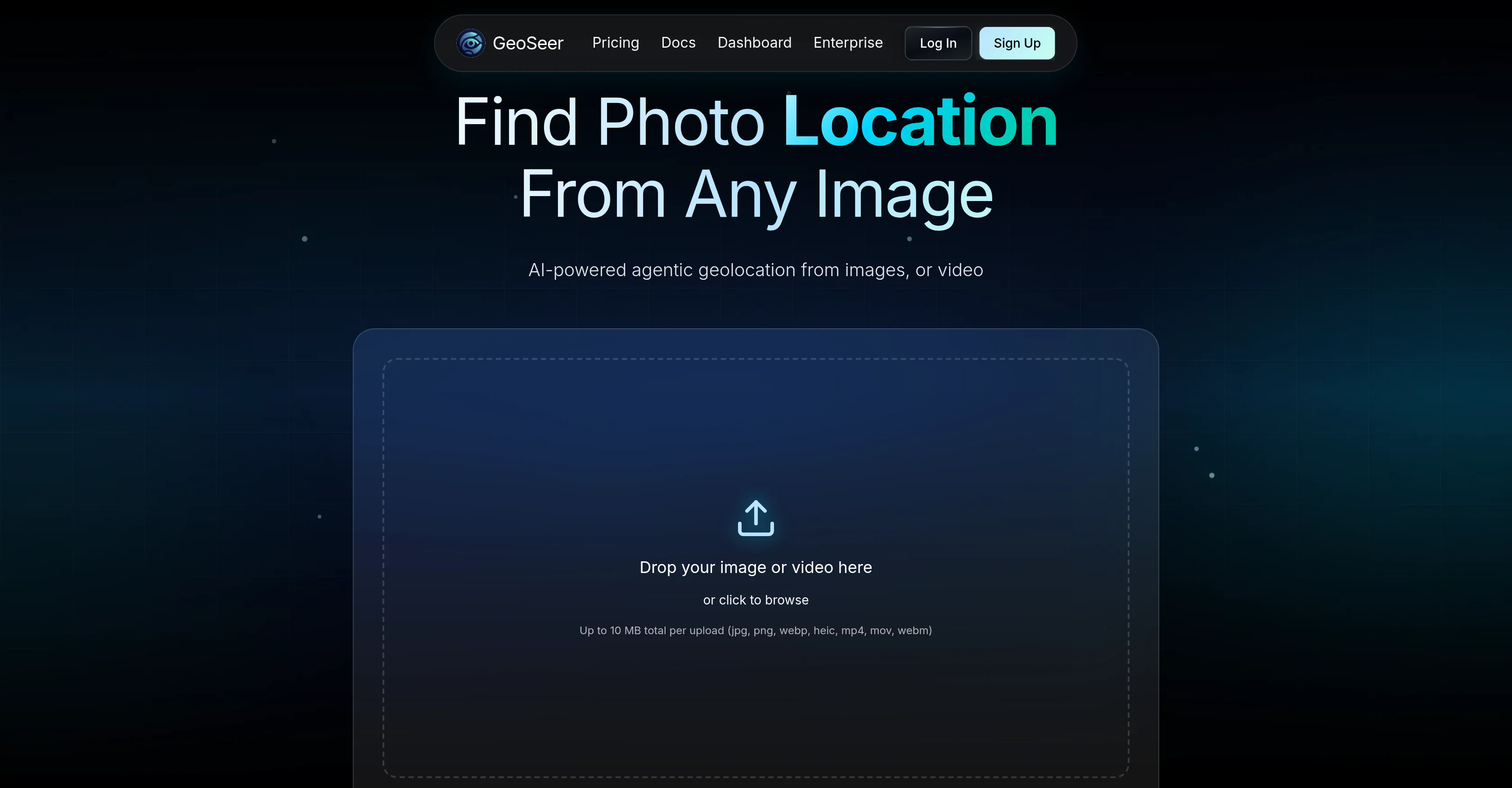
GeoSeer is an AI-powered tool designed to identify the location where a photo or video was taken. It allows users to upload up to three images or one video and it generates predictions of the geographical details of where the image or video was shot - GPS coordinates, the city, and the country.
It does not require EXIF data from the uploaded files for its workings. GeoSeer makes use of a parallel multi-agent AI architecture to analyze the uploads and estimate the location.
This is achieved through different steps including EXIF analysis, reverse image searching, visual analysis, area estimation, and finally ranking the results.
GeoSeer prides itself on state-of-the-art performance, providing real-time processing of uploads, geolocation services that cover the entire globe, and a privacy-first policy that does not store the images or videos uploaded.
Designed with a developer API, GeoSeer can be integrated easily into other platforms. The tool caters to a variety of users with different quota needs and provides different pricing plans accordingly.
GeoSeer has a user-friendly interface and is recognized for its accuracy.
Access & connections
Where you can use GeoSeer.
Platforms
Capabilities
What this tool accepts, produces, and is strongest at.
Input
- API
- Image
- Video
Output
- Geo
- API
Highlights
- Agents
- API
Supported features
- Image Understanding
- Video Understanding
- Agents
- Search
- Web browsing
- API
- Deep Research
Pros & cons
Pros
- Identifies photo or video location
- Doesn't require EXIF data
- Performs EXIF analysis
- Performs reverse image searching
- Performs visual analysis
- Area estimation
- Ranks results
- Real-time processing
Show 31 more
- Privacy-first policy
- Doesn't store uploads
- Developer API for integration
- Flexible pricing plans
- User-friendly interface
- Global geolocation coverage
- Recognized accuracy
- State-of-the-art performance
- Supports multiple image/video uploads
- Three-step location estimation
- Allows cross-platform integration
- Offers different user quota
- Analyzes clear landscapes
- Analyzes readable text imagery
- Works on incident details
- Different processing modes
- Outperforms competitors
- High accuracy rate
- Low cost
- Fast results delivery
- In partnership with known brands
- Provides GPS coordinates of location
- Predicts city and country
- Handles both rural and urban scenes
- Doesn't require public self-serve access
- Scalable for professionals across industries
- Understandable benchmark measures
- Supports various file formats
- No hidden fees
- Priority processing queue
- White-label API access
Cons
- Limited to three images
- Single video limitation
- Requires clear landscape images
- 10 MB upload limit
- Performance dependent on text clarity
- Accuracy varies across terrain types
- Costly for high usage
- No mobile app
Compare alternatives
Similar tools in the catalog — with a clear reason to open each one.

GeoEvident ✓
UnknownUnmask photo locations with AI geolocation intelligence.
No pricing
Full comparison
Picarta ✓
FreemiumFind where photos were taken using AI.
Why look Typically cheaper
Full comparison
GeoFinderAI ✓
Free TrialAI-powered location detection from images
Why look Typically cheaper
Full comparison
GeoInfer ✓
FreemiumLocate where any photo was taken no metadata required
Free + from $58.61/mo
Full comparison
GeoAxis ✓
Free TrialFind where any photo was taken no GPS needed.
Why look Typically cheaper
Full comparison
GeoSolver ✓
FreemiumAI-powered geographic analysis from any image.
Why look Typically cheaper
Full comparisonReleases 1
Imported reviews 7
best one I've used so far, looking forward to future releases
surprised on how well it works
Excellent experience with agent mode. It gives clear and useful insights, and performs reliably.
This takes pretty long to analyze ngl. But indeed the most accurate geolocation tool I've seen so far.
I feel like this is the only geolocation tool that uses satellite images.
I randomly picked a spot on Google maps and it found the right place. Would recommend.
I tried their agent mode. Super accurate.
FAQ 12
What specific image and video formats does GeoSeer support?
Does GeoSeer offer a mobile app?
Can GeoSeer be used for commercial purposes?
What happens to my uploads after analysis on GeoSeer?
What is the accuracy rate of GeoSeer's location predictions?
How does the parallel multi-agent AI architecture of GeoSeer work?
What is the maximum size of uploads that GeoSeer can process?
Can GeoSeer provide location details without EXIF data in the files?
How does GeoSeer ensure user's privacy?
How quickly can GeoSeer analyze a photo or video and provide the location?
What specific geographical details does GeoSeer provide?
How is GeoSeer's developer API useful?
Related tools
Recommended

Thea ✓
FreemiumAI study tools to master material, not just memorize it.

Recall ✓
FreemiumSummarize Anything, Forget Nothing!

Claude ✓
FreemiumBuilding reliable, interpretable AI systems

Distillr ✓
FreemiumDistill content with AI precision.

Gling - AI Video Editing Software for YouTube ✓
FreemiumAI-powered video editing for YouTube creators.

Collate ✓
FreeUnlimited free and private summaries and chat with PDF