

GeoInfer ✓
Locate where any photo was taken no metadata required
Free + from $58.61/mo
Verdict
A quick read before you dig into the full page.
- Best if
- Locate where any photo was taken no metadata required
- Skip if
- Limited performance for removed/never-present GPS
- Pick this when
- Image geolocation without metadata
Considering GeoEvident instead? Compare side by side
Overview
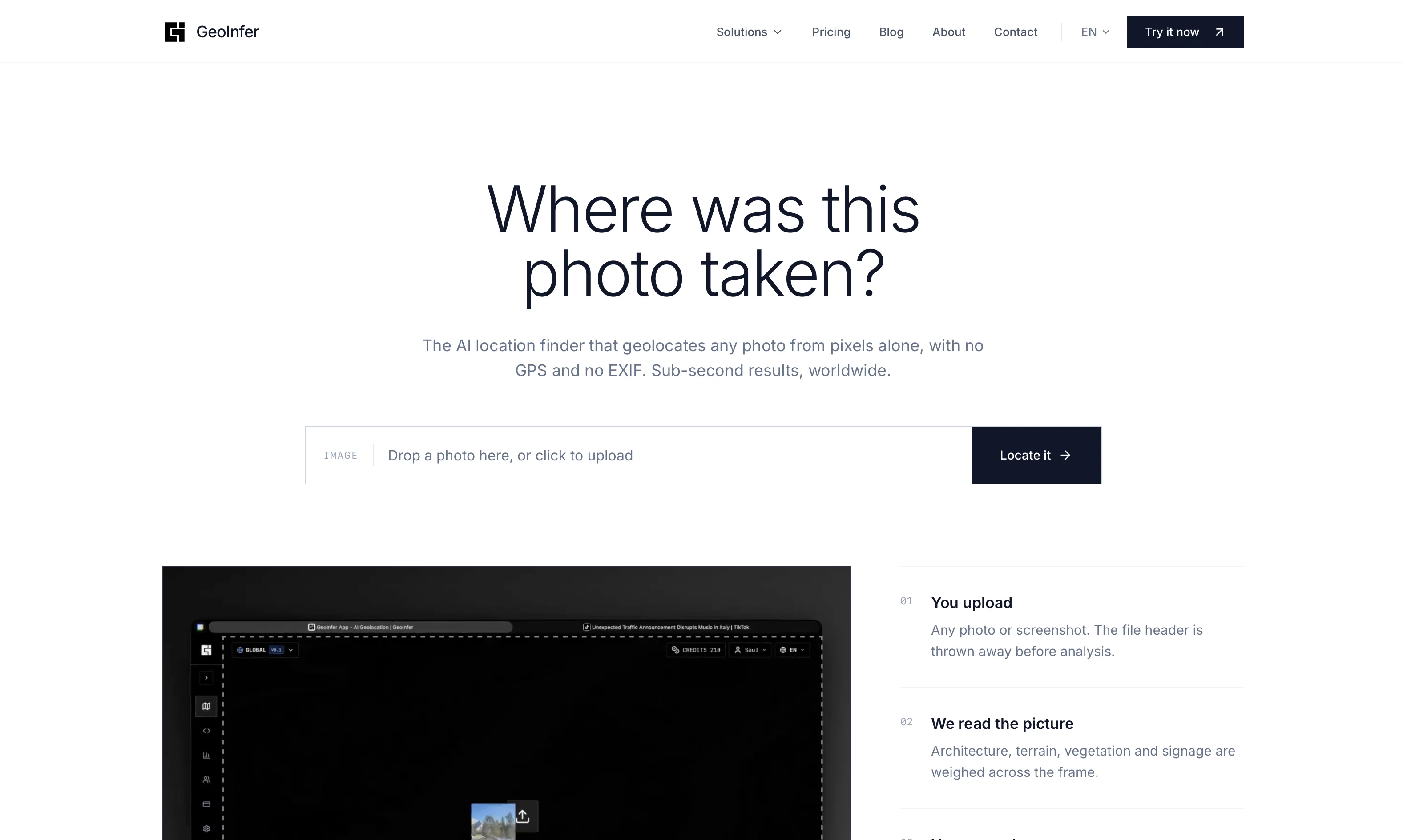
GeoInfer is an AI-powered image geolocation platform developed specifically for investigators, researchers, law enforcement, journalists, and security professionals.
It processes and analyzes visual cues such as architecture, terrain, vegetation, and environmental markers within photos to identify the geographical location where the photo was taken.
This AI system works even in the absence of EXIF or GPS data from metadata, making it highly reliable for images that come from sources like social media or messaging apps where metadata may be stripped.The platform relies on deep learning models that are trained on millions of geotagged images to enable precise location detection from any photo worldwide.
Its comprehensive database covers urban centers, natural landscapes, and remote locations, leading to accurate photo location detection.GeoInfer's real-time processing capabilities enable seamless integration into professional workflows and provide subsecond AI image search processing.
The platform can find location from image files even when GPS data has been removed or was never present, analysing visual content rather than embedded location data.GeoInfer offers wide coverage as it is trained on data from every continent, giving it the ability to accurately analyze photos taken anywhere in the world.
However, accuracy may vary depending on the density of reference imagery in the platforms training data. Urban areas and popular locations generally yield higher precision results.GeoInfer serves several professional use cases like verifying locations in open-source intelligence gathering and threat assessment, authenticating and geolocating evidence in legal and investigative contexts, and analyzing and verifying visual content for security and compliance purposes.
Access & connections
Where you can use GeoInfer.
Platforms
Capabilities
What this tool accepts, produces, and is strongest at.
Input
- Image
Output
- Geo
Highlights
- API
Supported features
- API
- Image Understanding
Pros & cons
Pros
- Image geolocation without metadata
- Trained on millions of images
- Analyzes visual clues in photos
- Wide geographical coverage
- Detects location without GPS data
- Real-time processing for professional workflows
- Optimized for investigators and researchers
- Useful for diverse set of industries
Show 41 more
- Proofing for law enforcement and journalism
- Reliable even with social media images
- Useful in EXIF data absence
- Urban and rural location detection
- Analyzes architecture, terrain, vegetation markers
- Suitable for threat assessment and verification
- Handy in open-source intelligence gathering
- Efficient in legal and investigative contexts
- Accurate in compliance purposes
- Real-time geolocation detection
- No metadata required for analysis
- Rapid integration into work processes
- Detailed urban mapping capabilities
- Natural landscape identification
- Remote location identification possible
- Social media image analysis
- Messaging apps image analysis
- Handy for evidence authentication
- Global image search processing
- Millisecond inference times
- Mean accuracy of 50km rural
- Sub-kilometer precision in urban
- Image location verification in investigations
- Comprehensive worldwide database for detection
- Deep learning models for precise detection
- OSINT investigators standardized tool
- Supports multiple image formats
- Performance based on image distinct details
- Built for digital forensics professionals
- Applicable in security research
- Trained on every continent's data
- Coverage includes popular and remote locations
- Processes photos without GPS metadata
- Accuracy varies with image quality
- Focus on distinctive landmarks and features
- Location identification in varying environments
- Designed for professional investigators
- Geolocation analysis in threat assessment
- Global coverage in location detection
- Tool for digital content verification
- Supports JPEG, PNG, WEBP formats
Cons
- Accuracy varies by region
- Dependent on reference imagery
- Low precision in rural areas
- Whitelist access model
- Requires distinctive landmarks
- Supports only standard image formats
- Better results with high resolution images
- Potential lack of training data
Show 2 more
- No real-world accuracy disclosure
- Limited performance for removed/never-present GPS
Compare alternatives
Similar tools in the catalog — with a clear reason to open each one.

GeoEvident ✓
UnknownUnmask photo locations with AI geolocation intelligence.
Image geolocation
Full comparison
Picarta ✓
FreemiumFind where photos were taken using AI.
Why look Typically cheaper
Full comparison
GeoFinderAI ✓
Free TrialAI-powered location detection from images
Why look Typically cheaper
Full comparison
GeoSeer ✓
FreemiumFind photo locations using AI geolocation technology.
Why look Typically cheaper
Full comparison
GeoAxis ✓
Free TrialFind where any photo was taken no GPS needed.
Why look Typically cheaper
Full comparison
GeoSolver ✓
FreemiumAI-powered geographic analysis from any image.
Why look Typically cheaper
Full comparisonReleases 1
Imported reviews 3
It's alright, but not accurate enough
Got only 1/5 even close...
Didn't even get the country right. The place looked nothing like the location on my image. :/
FAQ 12
How does GeoInfer work without EXIF or GPS metadata?
Is GeoInfer's location detection accurate in remote or rural areas?
Can GeoInfer analyze images from social media or messaging apps?
What type of data is GeoInfer trained on?
How fast is GeoInfer's real-time processing capability?
What are some of the use cases for GeoInfer?
Can GeoInfer work with images taken anywhere in the world?
Does the accuracy of GeoInfer vary based on the location of the photo?
Can GeoInfer detect the location of a photo if GPS data was never present?
Is Geoinfer utilized by law enforcement for investigative purposes?
How can GeoInfer support journalism?
How does GeoInfer analyze and verify visual content for security or compliance?
Related tools
Recommended

Recall ✓
FreemiumSummarize Anything, Forget Nothing!

Jason AI ✓
PaidAI-powered assistant for B2B sales outreach

Marketing Assistant (Elsa AI) ✓
FreemiumDefine your ideal customers and craft a winning marketing strategy with Elsa.

Marblism ✓
FreemiumAI Employees who Work for Your Business

DeepSeek ✓
FreeUnravel the mystery of AGI with curiosity

ChatPlayground AI ✓
PaidThe #1 Platform for Comparing AI Models