

Picterra ✓
Transform geospatial data into sustainable action.
Verdict
A quick read before you dig into the full page.
- Best if
- Transform geospatial data into sustainable action
- Skip if
- Limited industry specialisation
- Pick this when
- Cloud-based platform
Considering Intuo – Your AI geospatial analyst instead? Compare side by side
Overview
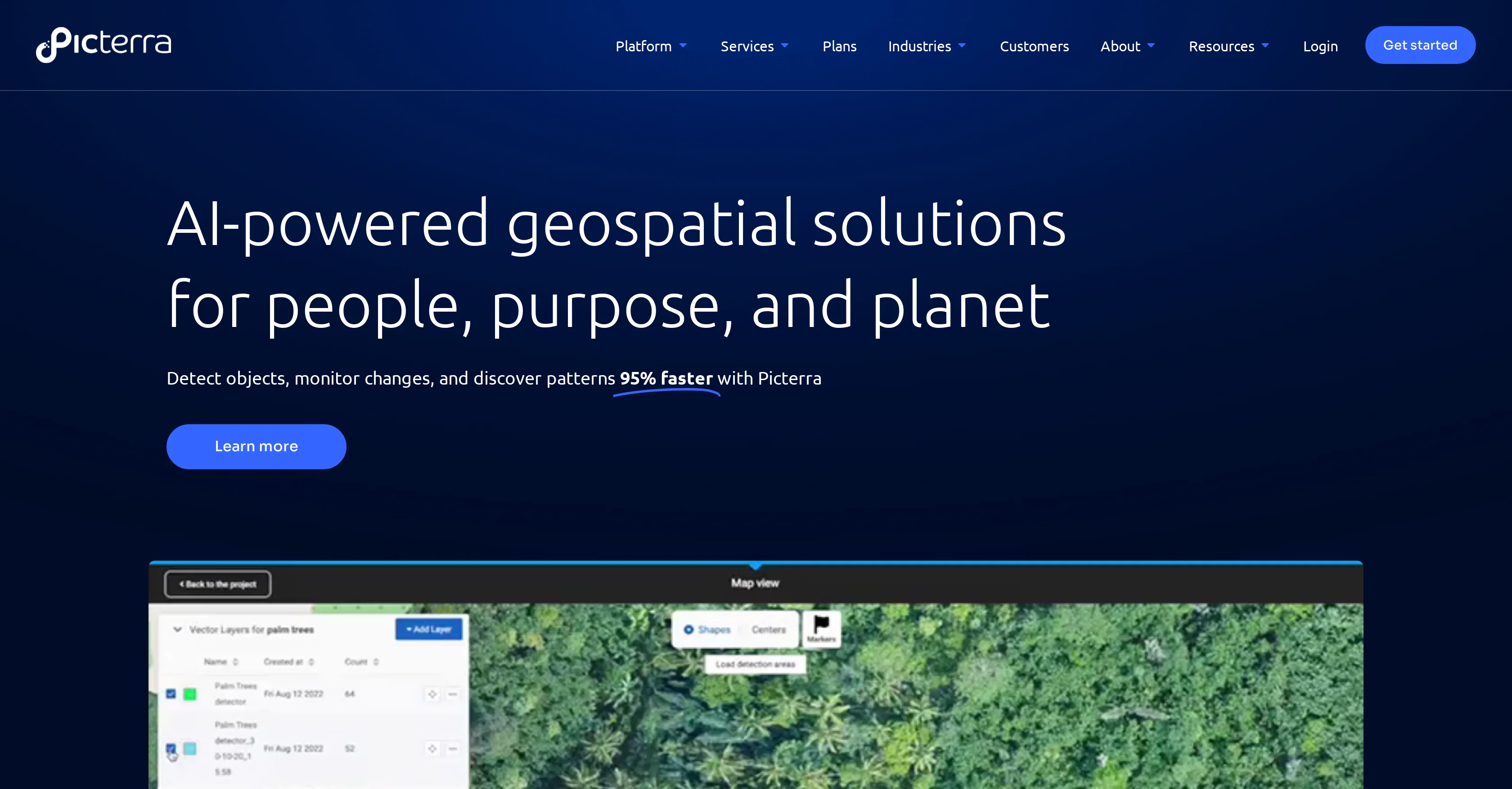
Picterra is a cloud-based platform that harnesses the power of AI for geospatial solutions, contributing to a sustainable future. Leveraging AI, Picterra offers object detection, change monitoring and pattern discovery features to optimise geospatial workflows and facilitate quick action.
It serves various industries including Forestry and Carbon Markets, Agriculture and Regenerative Farming, Mining and Quarries, Infrastructure, and FMCG & commodities.
For each industry, specific functionalities are provided. For example, tree detection for forestry, multi-class crop detection for agriculture, and mine expansion/deforestation detection for mining.
Customers can use Picterra's platform to automate their data analysis and generate insights efficiently. Their services extend to providing professional solutions adhering to EUDR compliance.
The application of Picterra spans across several sectors, enabling businesses to manage and interpret their data more effectively, thereby driving sustainable action.
Access & connections
Where you can use Picterra.
Platforms
Capabilities
What this tool accepts, produces, and is strongest at.
Input
- Geo
Output
- Geo
Pros & cons
Pros
- Cloud-based platform
- Geospatial solutions
- Object detection
- Change monitoring
- Pattern discovery
- Industry-specific functionalities
- Data analysis automation
- EUDR compliance
Show 31 more
- Multi-industry application
- Platform integrations
- Professional services
- Forestry feature: tree detection
- Agriculture feature: multi-class crop detection
- Mining feature: deforestation detection
- Efficient insights generation
- Infrastructure data analysis
- Deals with FMCG & commodities
- Interactive platform tours
- Fast detection and monitoring
- Supports business transformation
- Ease of data management
- Picterra Blog available
- Customer stories available
- Customer support options
- Efficient geospatial application development
- All-in-one geospatial analytics software
- Efforts to revolutionize geospatial analysis
- Dedicated support for success
- Imagery sourcing and processing
- Detector training support
- Change detection, tracking, & monitoring
- Dashboard & results customization
- Suitable for various industries
- User success stories provided
- Collaboration and synergy cultivation
- Performance scalability
- Data revolutionizing
- Enterprise software
- Efficiency and time saving
Cons
- Cloud-dependent
- Limited industry specialisation
- No disclosed integrations
- Service inclusions unclear
- Lack of directly customizable tools
- No offline functionality
- Unclear pricing policy
Compare alternatives
Similar tools in the catalog — with a clear reason to open each one.

Intuo – Your AI geospatial analyst ✓
FreeAsk a question about anywhere. Get analyst-grade maps and answers.
Why look Fully free option
Full comparison
Google Earth AI ✓
FreeTransforming Planetary Data into Actionable Intelligence
Why look Fully free option
Full comparison
Raven (formerly GeoSpy) ✓
UnknownTurn any image into actionable intelligence instantly.
Why look Offers a public API
Full comparison
Cybertiks ✓
Free TrialMonitor agriculture fields via satellite AI insights
Free + from $192/mo
Full comparison
Satlas ✓
UnknownExplore Earth's changes through AI-analyzed satellite imagery.
No pricing
Full comparison
FlyPix ✓
FreemiumAI-powered geospatial analysis for Earth's surface
Free + from $55.19/mo
Full comparisonReleases 1
FAQ 12
What industries does Picterra serve?
How does Picterra use AI for geospatial solutions?
What are the specific functionalities Picterra provides for different industries?
How does Picterra facilitate quick action?
How does Picterra automate data analysis?
What features does Picterra provide for the Forestry and Carbon Markets?
What solutions does Picterra offer for Agriculture and Regenerative Farming?
What are the functionalities provided by Picterra for Mining and Quarries?
What solutions does Picterra offer regarding EUDR compliance?
How can Picterra help in pattern discovery?
Can Picterra detect changes and monitor them over time?
Does Picterra have a free trial offer?
Related tools
Recommended

Stratup.ai ✓
FreemiumInnovative idea generation for businesses.

TurboScribe ✓
Freemium🎯 3 free transcripts every day. 🔥 Unlimited transcription starting at $10/mo.

Flowpoint ✓
FreemiumWebsite Analytics Reports with AI Agents

Marketing Assistant (Elsa AI) ✓
FreemiumDefine your ideal customers and craft a winning marketing strategy with Elsa.

Osum ✓
Free TrialSupercharge Your Market Research With AI ⚡

Marblism ✓
FreemiumAI Employees who Work for Your Business