Satlas ✓
Explore Earth's changes through AI-analyzed satellite imagery.
Verdict
A quick read before you dig into the full page.
- Best if
- Explore Earth's changes through AI-analyzed satellite imagery
- Pick this when
- Explore Earth's changes through AI-analyzed satellite imagery
Considering Intuo – Your AI geospatial analyst instead? Compare side by side
Overview
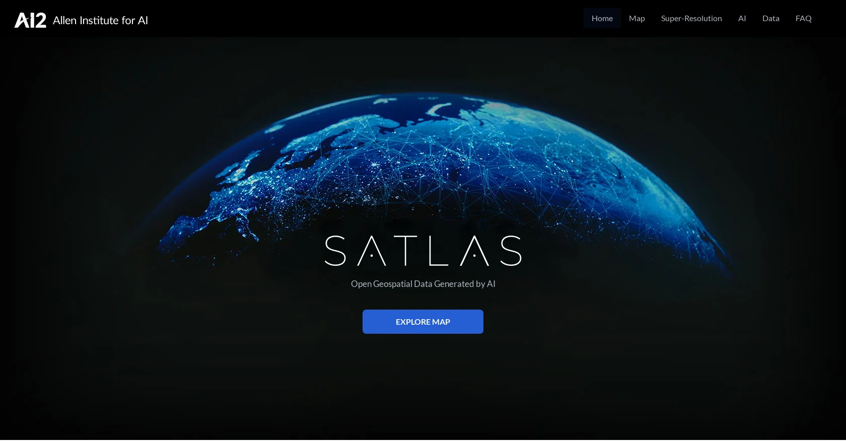
Satlas is an AI tool developed by AI2 (Allen Institute for AI) that allows users to explore and analyze changes happening on Earth through AI-annotated satellite imagery.
The tool utilizes monthly geospatial data to reveal changes in various aspects such as marine infrastructure, renewable energy infrastructure, and tree cover.
Users can observe specific examples like offshore wind farms in China and Denmark, deforestation in the Amazon Rainforest, logging in Washington State, and wind farms in Scotland.One of the key features of Satlas is Super-Resolution, where AI models enhance low-resolution satellite imagery to produce high-resolution images on a global scale.
This functionality helps users to visualize details of specific locations with improved clarity. The AI models employed in Satlas utilize cutting-edge architectures and training algorithms, leveraging a large-scale remote sensing dataset called SatlasPretrain, which contains over 30 TB of imagery and 300 million labels.Satlas provides freely accessible AI-generated geospatial datasets and allows users to download them for offline analysis.
The tool also releases AI models and training labels to facilitate further research and development. The development of Satlas is led by a team at Allen Institute for AI, which aims to advance computer vision capabilities to create AI systems that can understand and reason about the world.Overall, Satlas is a powerful tool for exploring and understanding Earth's changes through AI-annotated satellite imagery, providing valuable insights into various aspects of our planet's transformation.
Access & connections
Where you can use Satlas.
Platforms
Capabilities
What this tool accepts, produces, and is strongest at.
Input
- Geo
Output
- Image
Compare alternatives
Similar tools in the catalog — with a clear reason to open each one.

Intuo – Your AI geospatial analyst ✓
FreeAsk a question about anywhere. Get analyst-grade maps and answers.
Why look Offers a public API
Full comparison
Google Earth AI ✓
FreeTransforming Planetary Data into Actionable Intelligence
Free
Full comparison
Raven (formerly GeoSpy) ✓
UnknownTurn any image into actionable intelligence instantly.
Why look Offers a public API
Full comparison
Cybertiks ✓
Free TrialMonitor agriculture fields via satellite AI insights
Free + from $192/mo
Full comparison
FlyPix ✓
FreemiumAI-powered geospatial analysis for Earth's surface
Free + from $55.19/mo
Full comparison
Releases 1
Related tools
Recommended

Agentgpt ✓
FreemiumDeploy autonomous AI Agents effortlessly in your browser.

Scisummary ✓
Free TrialCutting-edge scientific articles summarization.

Transcript LOL ✓
FreemiumUnlimited transcripts, summaries, 99.8% accuracy, speaker recognition, superfast

OpenRead ✓
FreemiumAI-powered interactive papers for faster, intuitive research

Flowpoint ✓
FreemiumWebsite Analytics Reports with AI Agents

AI Toolbox for innovators ✓
FreeSupercharge innovation with AI-powered tools