

Cybertiks ✓
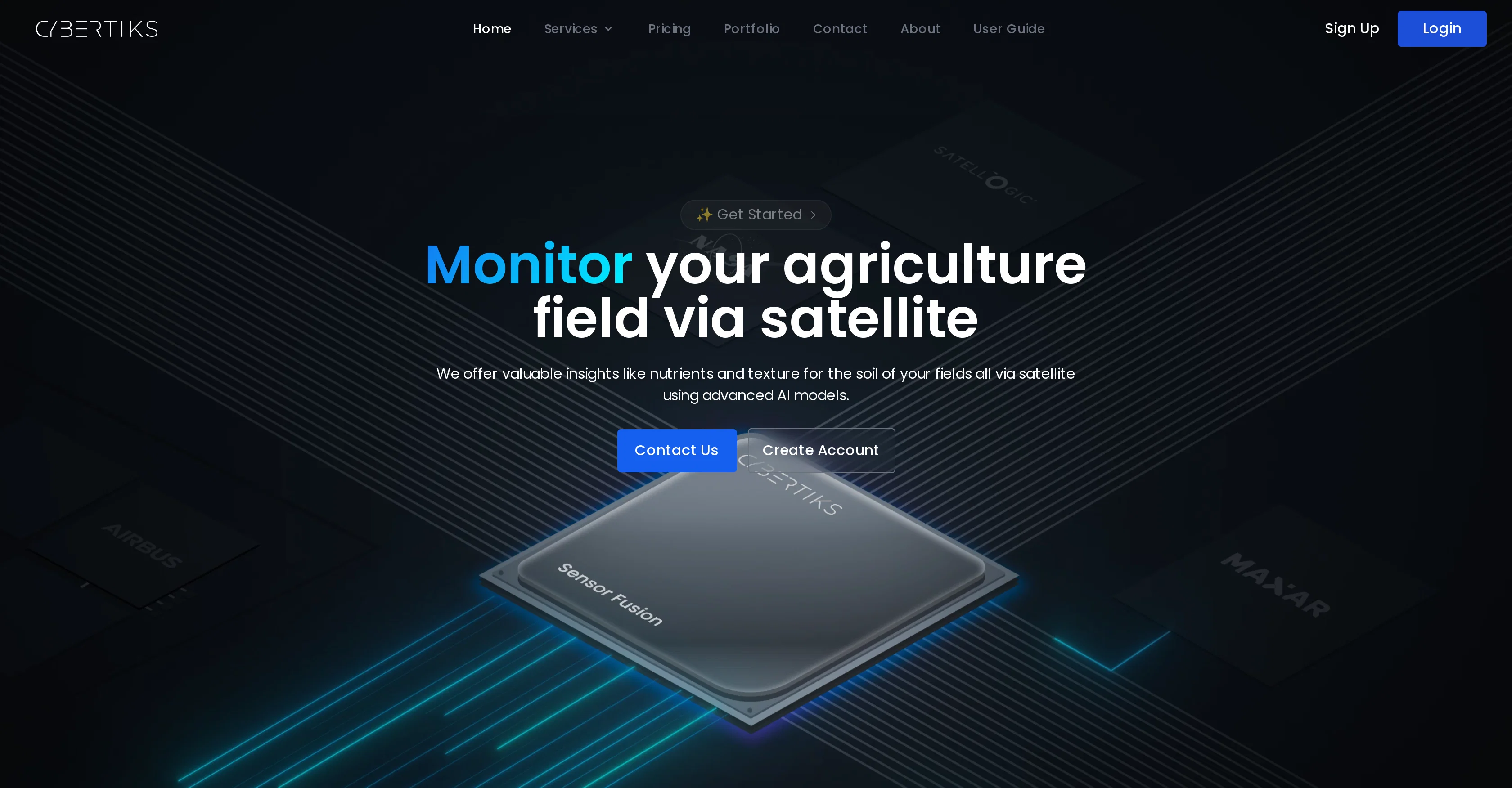
Monitor agriculture fields via satellite AI insights
Trial; then from $192/mo
Verdict
A quick read before you dig into the full page.
- Best if
- You are farmers and need: Detecting plant types and growth potential in a specific field
- Skip if
- Limited client customization options
- Pick this when
- Remote sensing and agtech
Considering Intuo – Your AI geospatial analyst instead? Compare side by side
Overview
Cybertiks is an innovative agtech solution that leverages the power of remote sensing, satellite data, and AI for precise agricultural analysis. Its primary aim is to transform the landscape of carbon farming and sustainable agriculture.
Cybertiks provides insights into soil nutrients and texture via satellite using advanced AI models. It specializes in delivering custom solutions to diverse industries worldwide and its key area of expertise is remote sensing of industrial requirements, realized by integrating AI models trained on a vast range of fields.
Cybertiks enables farming enterprises to analyze any field in the world remotely and derive necessary metrics. The platform's AI models, tailored for each metric, undergo rigorous testing and validation, promising a high degree of accuracy.
It also allows users to monitor their field status for analysis changes regularly. Cybertiks captures thermodynamic information from a range of electromagnetic sensors to classify and quantify natural resources, elements, and minerals.
The company also specializes in custom software development applying extensive experience in frontend and backend architectures and implementations. Cybertiks is unique by its integration of several sources of information to deliver a complete and strategic vision, verifying validations from industrial organizations, and data synchronization from various detection sensors.
Best for
Short scenarios where Cybertiks tends to shine.
-
Detecting plant types and growth potential in a specific field.
Best for Farmers
-
Measuring water availability, nutrients, erosion, soil quality, pollution, and plague levels via satellite.
Best for Agricultural businesses
-
Monitoring oil spills and leakages.
Best for Mining companies
-
Evaluating construction progress and modeling land topography.
Best for Construction companies
Example outputs 1
Sample generations and before/after results for Cybertiks.
Access & connections
Where you can use Cybertiks.
Platforms
Capabilities
What this tool accepts, produces, and is strongest at.
Input
- API
- Geo
Output
- Geo
- API
- Text
Pros & cons
Pros
- Remote sensing and agtech
- Harnesses satellite and drone imagery
- Precise agricultural analysis
- Identifies growing or potential plants
- Measures water availability via satellite
- Detects nutrients, erosion, soil quality
- Analyses pollution and plague levels
- Detects human activity via radars
Show 27 more
- Monitors oil spills and leakages
- Monitors waste deposits and construction projects
- Models land topography
- Delivers tailored client solutions
- Generates customized reports quickly
- Integrates multiple data sources
- Classifies and quantifies natural resources
- Frontend and backend architecture expertise
- Captures thermodynamic information
- Analyzes any field in the world remotely
- Monitoring field status regularly
- Certified and validated data
- Visualizes analysis results on map
- Historical insights from satellite archive
- Spectral signature classification
- Correlates large amounts of data
- Custom SaaS development
- Data synchronization from various sensors
- Can detect any mineral or element
- Specialized in agricultural metrics
- Transforms landscape of carbon farming
- Promotes sustainable agriculture
- Soil nutrients and texture analysis
- High degree of model accuracy
- Software development expertise
- Quantification of identified elements
- Custom solutions for each customer
Cons
- Relies heavily on clear satellite imagery
- No real-time monitoring
- Can't detect underground minerals
- Limited topography modeling capability
- Dependency on spectral signatures
- Restricted resolution (up to 100m2)
- Highly specific to agriculture
- Limited client customization options
Show 1 more
- No in-field data collection
Compare alternatives
Similar tools in the catalog — with a clear reason to open each one.

Intuo – Your AI geospatial analyst ✓
FreeAsk a question about anywhere. Get analyst-grade maps and answers.
Why look Fully free option
Full comparison
Google Earth AI ✓
FreeTransforming Planetary Data into Actionable Intelligence
Why look Fully free option
Full comparison
Raven (formerly GeoSpy) ✓
UnknownTurn any image into actionable intelligence instantly.
Why look Offers a public API
Full comparison
Satlas ✓
UnknownExplore Earth's changes through AI-analyzed satellite imagery.
No pricing
Full comparison
FlyPix ✓
FreemiumAI-powered geospatial analysis for Earth's surface
Why look Typically cheaper
Full comparisonPeople also view
Tools that often show up alongside Cybertiks in collections and comparisons.
Intuo – Your AI geospatial analyst ✓
FreeAsk a question about anywhere. Get analyst-grade maps and answers.
Satlas ✓
UnknownExplore Earth's changes through AI-analyzed satellite imagery.

Picterra ✓
Free TrialTransform geospatial data into sustainable action.
Google Earth AI ✓
FreeTransforming Planetary Data into Actionable Intelligence
Raven (formerly GeoSpy) ✓
UnknownTurn any image into actionable intelligence instantly.
FlyPix ✓
FreemiumAI-powered geospatial analysis for Earth's surface

Flowpoint ✓
FreemiumWebsite Analytics Reports with AI Agents

Ethiack ✓
FreemiumAutonomous ethical hacking to identify vulnerabilities first.
Releases 1
FAQ 12
What is Cybertiks?
How does Cybertiks use remote sensing and agtech?
Can Cybertiks detect what plants are growing in a specific field?
What types of soil quality metrics does Cybertiks measure?
Does Cybertiks monitor human activity?
How does Cybertiks use AI technology?
Is Cybertiks useful for large construction or infrastructure projects?
What kind of information can Cybertiks generate about a field?
What data sources does Cybertiks integrate?
Does Cybertiks offer customized solutions?
In what ways does Cybertiks analyze and identify natural resources?
How does Cybertiks classify and quantify the presence of elements and minerals?
Related tools
Recommended

Hal9 ✓
FreemiumBuild your AI-Powered Product in 30 Days

DataSquirrel ✓
FreemiumData cleaning & visualization for insights gained.

Scisummary ✓
Free TrialCutting-edge scientific articles summarization.

AI Lawyer ✓
Free TrialInstant legal advice and document creation at your fingertips

Transcript LOL ✓
FreemiumUnlimited transcripts, summaries, 99.8% accuracy, speaker recognition, superfast

OpenRead ✓
FreemiumAI-powered interactive papers for faster, intuitive research