
Google Earth AI ✓
Transforming Planetary Data into Actionable Intelligence
Verdict
A quick read before you dig into the full page.
- Best if
- Transforming Planetary Data into Actionable Intelligence
- Skip if
- Limited Real-Time Interactivity
- Pick this when
- Geospatial analysis
Considering Intuo – Your AI geospatial analyst instead? Compare side by side
Overview
With Earth AI, questions like “Which global mangrove forests resemble those in the Mekong Delta?” or “Where are all storm drains within 50 meters of schools in Brooklyn?” can now be answered in minutes. These insights power critical features across Google Earth, Maps, and Google Cloud, assisting with early-stage planning, policy development, and real-time decision-making.
Underpinned by Google’s broader geospatial ecosystem—including AlphaEarth Foundations, WeatherNext, and Population Dynamics models—Earth AI delivers capabilities like AI-driven flood forecasting, air quality predictions, wildfire tracking, and cyclone path forecasting. These tools help inform billions of users during climate events and enable crisis response teams to act swiftly and accurately.
Through partnerships with organizations like Planet Labs, GiveDirectly, and McGill University, Earth AI supports real-world applications including disaster relief, climate resilience, and urban planning. Its integration with Vertex AI allows users to perform advanced geospatial analytics using natural language, democratizing access to satellite insights.
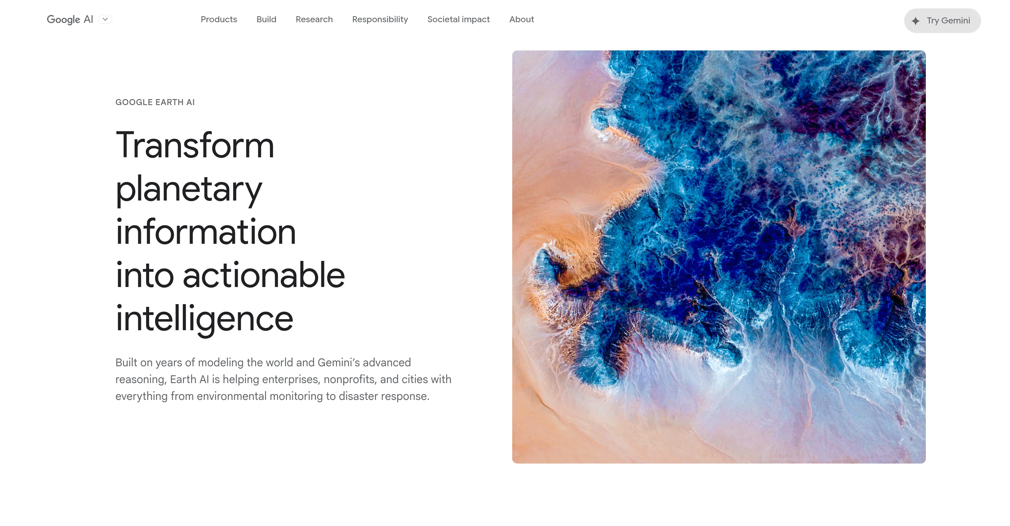
By merging AI with satellite imagery, real-time data, and contextual reasoning, Google Earth AI is reimagining how we interact with our planet—empowering users to build a more informed, resilient, and sustainable future.
Best for
Short scenarios where Google Earth AI tends to shine.
-
Transforming Planetary Data into Actionable Intelligence
Example outputs 1
Sample generations and before/after results for Google Earth AI.
Access & connections
Where you can use Google Earth AI.
Platforms
Capabilities
What this tool accepts, produces, and is strongest at.
Supported features
- Image Edit
- Data Analysis
- Image Understanding
- Search
- Integrations
Pros & cons
Pros
- Geospatial analysis
- Earth visualization
- Satellite Imagery usage
- Data mapping abilities
- Location based services
- Delivers remote sensing
- Cartography capabilities
- 3D Earth modeling
Show 42 more
- Virtual reality integration
- Google powered technology
- Intuitive interface
- High definition accuracy
- Large geographical database
- Real-time location tracking
- Layered geographical data
- Historical data visualization
- Seamless integration with Google products
- In-depth geographical granularity
- Comprehensive mapping tool
- Detailed terrain mapping
- Supports multiple languages
- Customizable map styles
- Allows route planning
- High-resolution satellite images
- Interactive exploratory features
- Global coverage
- Integration with GIS software
- Mobile device support
- Oceanic depth mapping
- Street view feature
- Ability to track satellites
- Multidimensional mapping
- Weather pattern visualization
- Accessibility features
- Environment realistic textures
- Save and share functionality
- Tour guide features
- Sun and stars visualization
- Customizable geographical overlays
- Measurement tools
- Time-lapse capabilities
- Import personal data sets
- Elevation profile feature
- Population density maps
- Climate-related mapping
- Flight simulator mode
- Detailed city models
- Data export options
- Frequent updates
- Community-based data source
Cons
- Limited Accessibility for Non-Technical Users
- Dependent on High-Quality Geospatial Data
- Environmental Bias in AI Models
- High Resource Requirements
- Limited Real-Time Interactivity
Compare alternatives
Similar tools in the catalog — with a clear reason to open each one.

Intuo – Your AI geospatial analyst ✓
FreeAsk a question about anywhere. Get analyst-grade maps and answers.
Why look Offers a public API
Full comparison
Raven (formerly GeoSpy) ✓
UnknownTurn any image into actionable intelligence instantly.
Why look Stronger for image work
Full comparison
Cybertiks ✓
Free TrialMonitor agriculture fields via satellite AI insights
Free + from $192/mo
Full comparison
Satlas ✓
UnknownExplore Earth's changes through AI-analyzed satellite imagery.
No pricing
Full comparison
FlyPix ✓
FreemiumAI-powered geospatial analysis for Earth's surface
Free + from $55.19/mo
Full comparisonPeople also view
Tools that often show up alongside Google Earth AI in collections and comparisons.
Intuo – Your AI geospatial analyst ✓
FreeAsk a question about anywhere. Get analyst-grade maps and answers.
Satlas ✓
UnknownExplore Earth's changes through AI-analyzed satellite imagery.

Picterra ✓
Free TrialTransform geospatial data into sustainable action.
Raven (formerly GeoSpy) ✓
UnknownTurn any image into actionable intelligence instantly.
FlyPix ✓
FreemiumAI-powered geospatial analysis for Earth's surface
Cybertiks ✓
Free TrialMonitor agriculture fields via satellite AI insights

DeepSeek ✓
FreeUnravel the mystery of AGI with curiosity

Claude ✓
FreemiumBuilding reliable, interpretable AI systems
Releases 1
Imported reviews 1
Google Earth AI embraces a plethora of tasks. It helps in visualizing geographic data, guides in making advanced data mapping, and supports in 3D earth modeling. It also provides a platform for location-based services and remote sensing, while incorporating satellite imagery for detailed geospatial analysis.
FAQ 12
What is Google Earth AI?
What does Google Earth AI do?
How does Google Earth AI assist with geospatial analysis?
What features differentiate Google Earth AI from other AI tools?
How does Google Earth AI use satellite imagery?
Can Google Earth AI be used for data mapping?
In what ways does Google Earth AI contribute to location-based services?
How is remote sensing used in Google Earth AI?
How does Google Earth AI incorporate cartography?
What is the extent of geospatial data that Google Earth AI can handle?
How accurate is the 3D Earth Modeling of Google Earth AI?
Can Google Earth AI be used in virtual reality applications?
Related tools
Recommended

Voice Changer.video ✓
FreeTransform your voice into any tone and language.

PrompTessor ✓
FreemiumAI Prompt Workspace for Better AI Results

AI Landing Page.ai ✓
Free TrialGenerate landing pages quickly with AIsimple, fast, and effective.

Promtist AI ✓
FreeGenerate optimized prompts for better AI results.

FlowPost ✓
Free TrialAI autopilot for social media posting

Mistral AI Studio ✓
FreeAI builders' preferred toolkit for enterprise deployment.