

Geospatial analysis 2026 Rank: #2230
OlmoEarth by Ai2 ✓
Earth data turned into decision-ready insightsno AI expertise needed.
Verdict
A quick read before you dig into the full page.
- Best if
- Earth data turned into decision-ready insightsno AI expertise needed
- Skip if
- Requires large data procurement
- Pick this when
- End-to-end solution
Considering Intuo – Your AI geospatial analyst instead? Compare side by side
Overview
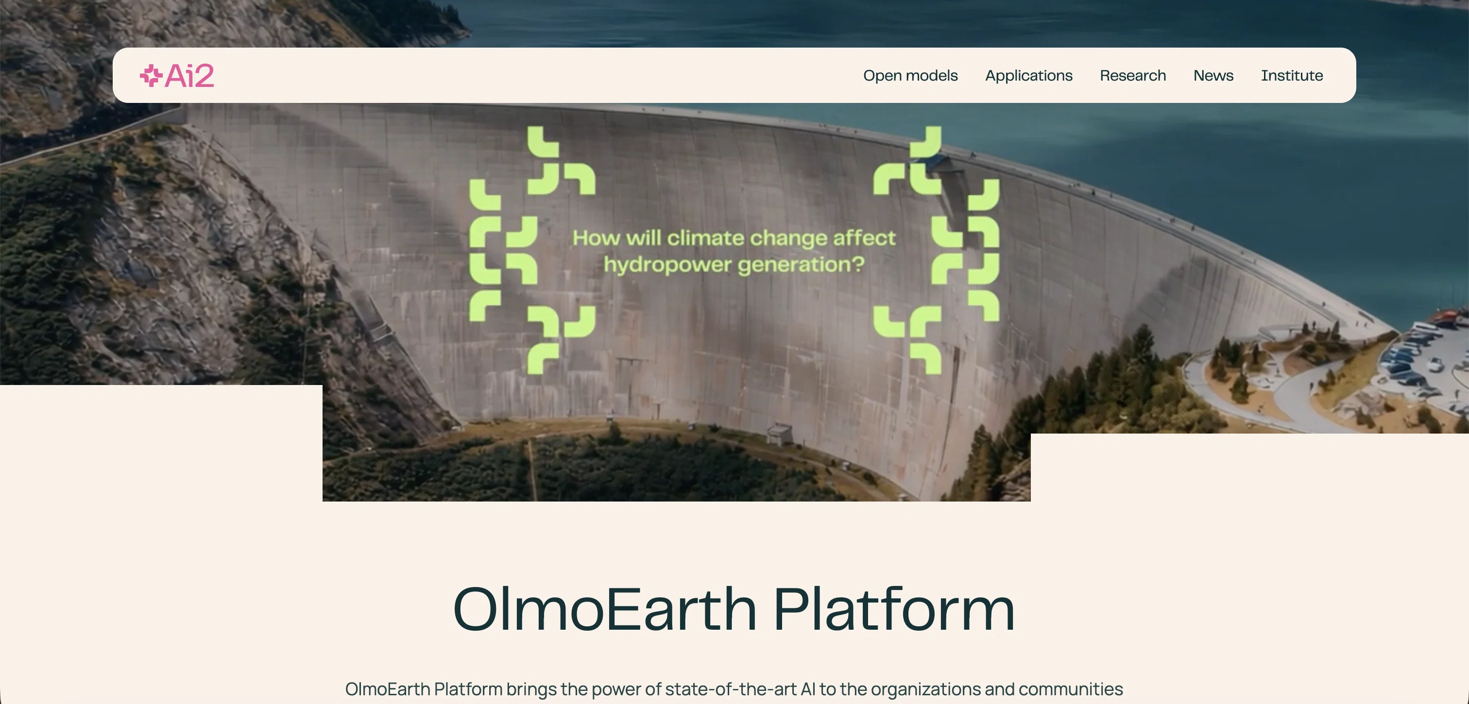
Designed by Ai2, OlmoEarth is an open platform that leverages state-of-the-art AI technology to provide invaluable decision-ready insights for organizations and communities.
By converting Earth data into actionable results, it aids in resolving significant planetary issues. The platform delivers its service in an end-to-end solution fashion, managing all stages from data procurement to research and development, then fine-tuning to final deployment in production.
It stands out for its top-notch model performance for Earth data, having been trained on a large scale of global observations, making it a highly accurate, reliable tool in decision-making processes.
OlmoEarth also prioritizes efficiency, allowing for continuous monitoring and fast result delivery that previously took months, now possible within few hours.
Users have found the platform facilitates enhanced precision in respective environmental projects such as Global Mangrove Watch and high seas protection.
It has been particularly noted for its ability to fine-tune and deploy models quickly, contributing to the development of advanced systems like fire risk models.
Additionally, OlmoEarth embraces openness, offering access to downloadable models and data used for pretraining. Overall, OlmoEarth seeks to empower research and analysis in environmental sciences through innovative AI applications.
Access & connections
Where you can use OlmoEarth by Ai2.
Platforms
Capabilities
What this tool accepts, produces, and is strongest at.
Input
- API
- Tabular
- Geo
Output
- Geo
- API
Pros & cons
Pros
- End-to-end solution
- Rapid deployment
- Efficiency in monitoring
- High model performance
- Large scale training
- Highly accurate
- Reliable tool
- Fast result delivery
Show 27 more
- Enhanced precision
- Quick model fine-tuning
- Advanced system development
- Openness
- Downloadable models
- Downloadable data
- Empowers research
- Empowers analysis
- Geospatial analysis
- Decision-ready insights
- Earth data analytics
- Data procurement
- Research and development
- Mangrove protection
- High seas protection
- Fire risk models
- Fast processing time
- Reduces data points usage
- Real-time detection
- Comprehensive coverage
- Accessibility
- Custom embedding exports
- Technical/API documentation
- Open platform
- Community empowerment
- Actionable results
- Scalable planetary intelligence
Cons
- Requires large data procurement
- Geared towards environmental projects
- Complexity in deployment process
- Selective model availability
- Undefined cost structure
- No mentioned collaboration features
- Requires data refinement
- Potentially high computing cost
Show 2 more
- Limitation to Earth data
- Possible data privacy issues
Compare alternatives
Similar tools in the catalog — with a clear reason to open each one.

Intuo – Your AI geospatial analyst ✓
FreeAsk a question about anywhere. Get analyst-grade maps and answers.
Why look Offers a public API
Full comparison
Google Earth AI ✓
FreeTransforming Planetary Data into Actionable Intelligence
Free
Full comparison
Raven (formerly GeoSpy) ✓
UnknownTurn any image into actionable intelligence instantly.
Why look Offers a public API
Full comparison
Cybertiks ✓
Free TrialMonitor agriculture fields via satellite AI insights
Free + from $192/mo
Full comparison
Satlas ✓
UnknownExplore Earth's changes through AI-analyzed satellite imagery.
No pricing
Full comparison
FlyPix ✓
FreemiumAI-powered geospatial analysis for Earth's surface
Free + from $55.19/mo
Full comparisonReleases 1
Related tools
Recommended

Fly.io ✓
Free TrialReal computers for AI agents.

AdControlCenter ✓
Free TrialRun every ad network from one dashboard

Visual Studio Code Agents ✓
FreeFrom prompt to finished task, autonomously.

ParseStream ✓
Free TrialFinds buyers asking for what you sell and drafts your reply

Prime Intellect ✓
UnknownTrain, deploy, and improve your own AI models.

GetLogit ✓
FreemiumArtificial intelligence, available for everyone.