

Nearmap ✓
Replace uncertainty with evidence
Verdict
A quick read before you dig into the full page.
- Best if
- Replace uncertainty with evidence
- Skip if
- Complex interface
- Pick this when
- Geospatial capture
Considering Intuo – Your AI geospatial analyst instead? Compare side by side
Overview
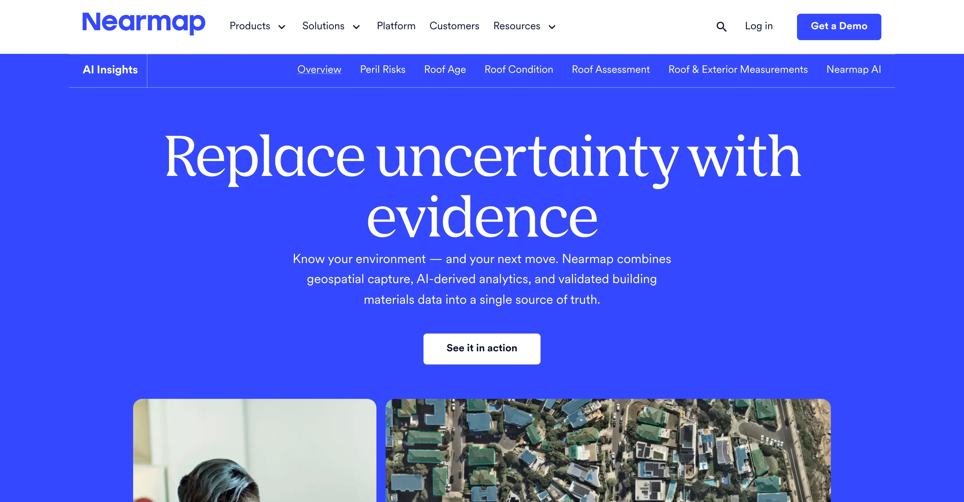
Nearmap is an geospatial analytic tool that merges geospatial capture, AI-driven analytics, and validated building materials data to foster an improved understanding of the environment around us.
One of its key features is the ability to scan neighborhoods in their entirety within minutes from varying angles and across various timescales, providing a comprehensive and clear perspective on demand.
Nearmap also offers specialized features to assess different common environmental factors such as roof conditions, solar panels, vegetation, surface types, etc.
Its comparison feature gives users the capacity to view historical images side by side in order to understand contextual change over time. It also provides analysis on exposure to fire, cyclone, and hail, relying on real-world data on property condition and regional hazards.
Other handy solutions it provides include precise and fast roof and exterior measurements delivered directly into analytic software, reduced dependency on policyholders or onsite adjusters, AI condition scores and 40+ automated detections to provide comprehensive roof health visibility, and the ability to identify defensible space, vegetation density, and 3D topography around every property.
These features, among others, are designed to aid various industries to make confident, efficient, and informed decisions.
Access & connections
Where you can use Nearmap, and what it plugs into.
Platforms
Integrations
Capabilities
What this tool accepts, produces, and is strongest at.
Input
- Geo
Output
- Geo
Pros & cons
Pros
- Geospatial capture
- Analyzes validated building materials
- Rapid neighborhood scanning
- Multiple angle scanning
- Timescale scanning
- Specialized environmental assessment
- Roof condition assessment
- Solar panel detection
Show 40 more
- Vegetation detection
- Surface type detection
- Historical image comparison
- Hazard exposure analysis
- Fire exposure analysis
- Cyclone exposure analysis
- Hail exposure analysis
- Real-world data reliance
- Property condition analysis
- Fast roof measurements
- Fast exterior measurements
- Analytic software integration
- Reduction of onsite adjusters
- 40+ automated detections
- Roof health visibility
- Defensible space identification
- Vegetation density identification
- 3D topography identification
- Wildfire risk assessment
- Policyholder independence
- Impact response capability
- Detects unstandardized conditions
- Insight solutions backed by trusted data
- MapBrowser integration
- Integration into other tools
- Reduces manual site visits
- Allows collaborative updates
- Faster underwriting
- Accurate quoting
- Quicker claims settlement
- Shared intelligence for bidding
- Reduced field reliance
- Fast response to compliance violations
- Trusted by leading organizations
- Applications paired with other tools
- itel NOW integration
- Disaster Insights
- itel Pricing
- itel Analysis
- RepairLogic Library integration
Cons
- Limited to neighborhood scans
- Dependent on real-world data
- No mobile application
- May miss non-visible hazards
- No disaster anticipation feature
- Complex interface
- Limited 3D analysis
- No urban environment analytics
Show 2 more
- No oceanic data analysis
- Relies on policyholders data
Compare alternatives
Similar tools in the catalog — with a clear reason to open each one.

Intuo – Your AI geospatial analyst ✓
FreeAsk a question about anywhere. Get analyst-grade maps and answers.
Why look Offers a public API
Full comparison
Google Earth AI ✓
FreeTransforming Planetary Data into Actionable Intelligence
Free
Full comparison
Raven (formerly GeoSpy) ✓
UnknownTurn any image into actionable intelligence instantly.
Why look Offers a public API
Full comparison
Cybertiks ✓
Free TrialMonitor agriculture fields via satellite AI insights
Free + from $192/mo
Full comparison
Satlas ✓
UnknownExplore Earth's changes through AI-analyzed satellite imagery.
No pricing
Full comparison
FlyPix ✓
FreemiumAI-powered geospatial analysis for Earth's surface
Free + from $55.19/mo
Full comparisonReleases 1
FAQ 12
What is Nearmap?
How does Nearmap work?
What are the main features of Nearmap?
How can Nearmap aid in scanning neighborhoods?
What types of environmental factors can Nearmap assess?
How does Nearmap aid in understanding contextual change over time?
What type of exposure analysis does Nearmap provide?
What are the details of Nearmap's roof and exterior measurements feature?
How does Nearmap reduce dependency on policyholders or onsite adjusters?
What does the AI condition scores feature of Nearmap entail?
How can Nearmap help identify defensible space and vegetation density?
How does 3D topography feature work in Nearmap?
Related tools
Recommended

AI Aware ✓
Free TrialDetect AI-generated content across text, video, images and audio.

Choosaro ✓
FreemiumCompare options and decide faster with AI.

KREA ✓
FreemiumIntuitive AI for image and video generation

ImagineGo ✓
Free TrialAll top AI video models in one platform.

RenameClick ✓
FreemiumRename, organize, and search files by content with local AI

Vdoo AI | Image to Image Generator ✓
Free TrialTransform any image into stunning AI-enhanced visuals.