FindPicLocation ✓
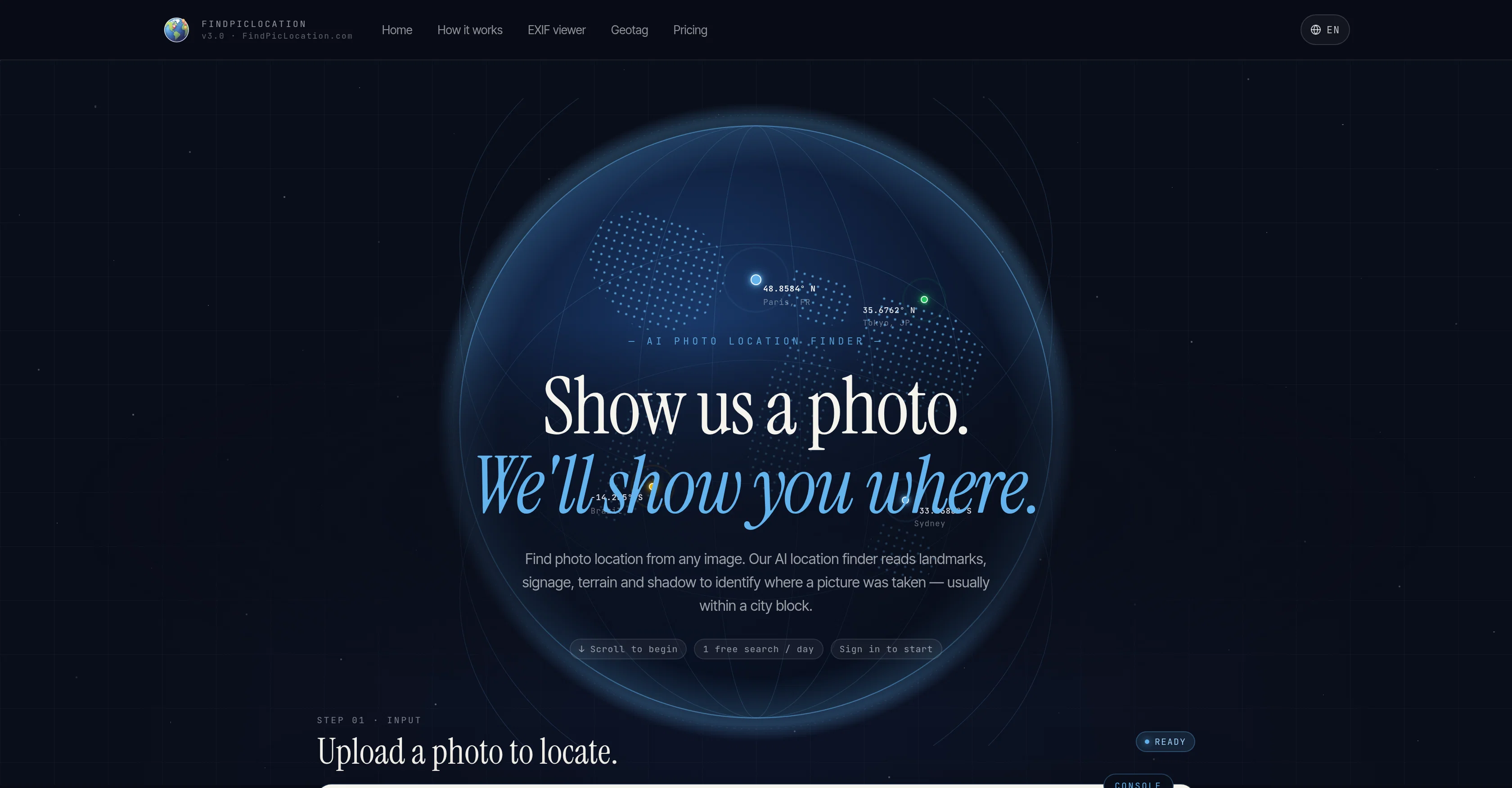
Show us a photo. We'll show you where.
Free + from $14.99/mo
Verdict
A quick read before you dig into the full page.
- Best if
- Show us a photo. We'll show you where
- Skip if
- File size limit 10MB
- Pick this when
- Accurate location identification
Considering GeoEvident instead? Compare side by side
Overview
FindPicLocation is an artificial-intelligence-based tool designed to discover the location of any given photo. Utilizing advanced AI processes and available GPS data, the tool reads and understands elements such as landmarks, signage, terrain, and shadow within the picture to identify where it was taken, usually with an accuracy within a city block.
The tool can analyze a variety of image types including but not limited to travel snapshots, social-media screenshots, postcards, and film stills. A key feature of the tool is the 'Deep Search', which deploys multiple AI agents that verify each hypothesis using real map data, street-level imagery, and place photos before presenting the most evidence-backed location.
This comprehensive and corroborative system significantly boosts the accuracy of location identification. User-friendly functionalities include options to upload photos directly and view results spanning multiple suggestions with confidence scores on both satellite and street-view maps.
The tool encourages daily utilization by offering free searches every day.
Access & connections
Where you can use FindPicLocation.
Platforms
Capabilities
What this tool accepts, produces, and is strongest at.
Input
- Image
Output
- Geo
Pros & cons
Pros
- Accurate location identification
- Landmark recognition
- Terrain analysis
- Signage and shadow interpretation
- Supports various image types
- 'Deep Search' feature
- Uses real map data
- Uses street-level imagery
Show 8 more
- Utilizes place photos
- Confidence scores presentation
- Satellite and street-view maps
- Direct photo upload option
- Offers daily free searches
- Instant GPS data detection
- Multiple location suggestions
- Interactive map results
Cons
- Accuracy only within city block
- Limited to visual elements
- Doesn't mention privacy measures
- Depends on GPS data
- File size limit 10MB
- Confidence score unclear
- Limited to three uploads
- Requires sign in
Show 2 more
- May require purchase of credits
- Unclear data verification process
Compare alternatives
Similar tools in the catalog — with a clear reason to open each one.

GeoEvident ✓
UnknownUnmask photo locations with AI geolocation intelligence.
No pricing
Full comparison
Picarta ✓
FreemiumFind where photos were taken using AI.
Why look Typically cheaper
Full comparison
GeoFinderAI ✓
Free TrialAI-powered location detection from images
Why look Typically cheaper
Full comparison
GeoInfer ✓
FreemiumLocate where any photo was taken no metadata required
Why look Offers a public API
Full comparison
GeoSeer ✓
FreemiumFind photo locations using AI geolocation technology.
Why look Offers a public API
Full comparison
GeoAxis ✓
Free TrialFind where any photo was taken no GPS needed.
Why look Typically cheaper
Full comparison