

PamPam ✓
Create AI-powered interactive maps effortlessly.
Verdict
A quick read before you dig into the full page.
- Best if
- Create AI-powered interactive maps effortlessly
- Skip if
- Limited annotation options
- Pick this when
- Facilitates interactive map creation
Considering Content2Map instead? Compare side by side
Overview
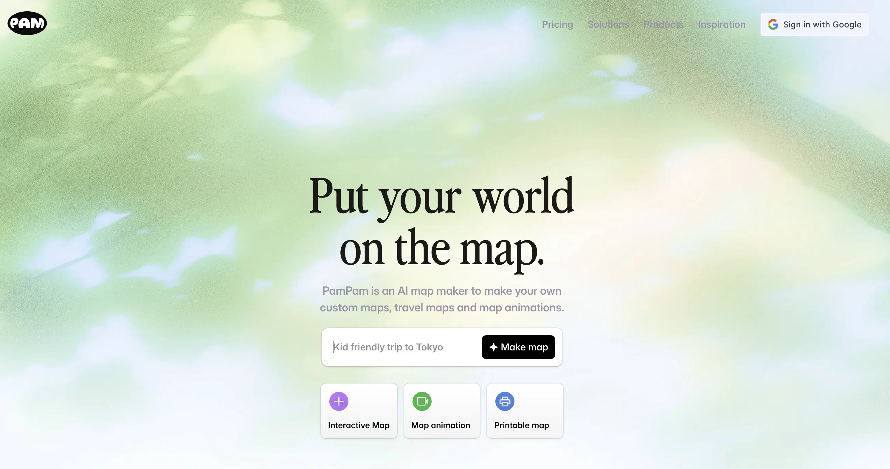
PamPam is an innovative tool that facilitates the creation of interactive maps, leveraging the capabilities of artificial intelligence. This platform is designed to provide an easier and more intuitive way for users to explore geographical data through interactive maps.
With the use of AI technology, PamPam can provide meaningful and intelligent insights to assist in understanding geographical information. It is suitable for both professional and personal use.
Users can add points or areas of interest to their maps, annotate them with descriptions, and enrich the data with various details. Thus, the tool aims to provide a comprehensive and in-depth exploration of geographical regions, whether for educational, research, or recreational purposes.
It comes with user-friendly features that allow users to navigate easily across their maps and explore different aspects of the geographical data. The utilization of AI adds a layer of sophistication to the tool, making the exploration of geographical data a more engaging and insightful process.
It should be noted that PamPam is not just about accessing geographical information; it is about using this information in meaningful ways through the interactive functionality of the tool.
In summary, PamPam is a tool for creating versatile interactive maps supported by artificial intelligence, aiming to enhance users' understanding and engagement with geographical data.
Access & connections
Where you can use PamPam.
Platforms
Capabilities
What this tool accepts, produces, and is strongest at.
Input
- Geo
Output
- Geo
Pros & cons
Pros
- Facilitates interactive map creation
- Intuitive user interface
- Enables data annotation
- User-friendly navigation features
- Provides intelligent insights
- Personalized map creation
- suitable for educational use
- Helpful in research
Show 6 more
- Enrich data with details
- Functional for personal use
- Enhances geographical data engagement
- Promotes meaningful geographical information use
- Designed for versatility
- Effective for recreational purposes
Cons
- Limited to geographical data
- No offline mode
- No API for integration
- No 3D mapping
- Unspecified data processing speed
- No multi-language support
- No real-time data update
- No desktop version
Show 2 more
- Limited annotation options
- Cannot import external data
Compare alternatives
Similar tools in the catalog — with a clear reason to open each one.

Content2Map ✓
Free TrialTurn any content into an interactive map.
Why look Better for writing
Full comparison
Ultimaps ✓
FreemiumCreate color-coded interactive maps in seconds
Free + from $105/mo
Full comparison

Readpodcast AI ✓
FreemiumRead, search and chat with any podcast or video.
Free + from $4.9/mo
Full comparison
Ravecho ✓
FreemiumHave voice conversations with history's greatest figures.
Free + from $4.99/mo
Full comparison
Nautex AI ✓
FreemiumSpecifications management for Coding Agents
Why look Offers a public API
Full comparisonReleases 1
FAQ 12
What is PamPam?
How does PamPam use AI to create maps?
Is PamPam suitable for professional use?
Can I add personal points of interest on PamPam maps?
Can PamPam assist in understanding geographical data?
How user-friendly is PamPam?
How can I annotate areas on a PamPam map?
Can PamPam be used for educational purposes?
Does PamPam also function as a research tool?
What kind of insights do the AI features of PamPam provide?
How does the interactive functionality of PamPam enhance the use of geographical information?
Can I personalize my PamPam maps?
Related tools
Recommended

Fabric ✓
FreemiumYour self-organizing digital workspace.

Maps GPT ✓
FreeGenerate custom maps with pins instantly

Turbo Seek ✓
FreeSearch smarter and faster with AI

Recall ✓
FreemiumSummarize Anything, Forget Nothing!

D-ID Creative Reality Studio ✓
UnknownCreate AI-powered videos from still images.

Alcotravel ✓
FreemiumGenerated suggestions for travel itineraries.