
Laneform
A platform for urban planning visualization and community engagement.
Source rating 5.0
(53)
0 views
0 saves
Unknown
Verdict
A quick read before you dig into the full page.
- Best if
- A platform for urban planning visualization and community engagement
- Pick this when
- A platform for urban planning visualization and community engagement
Overview
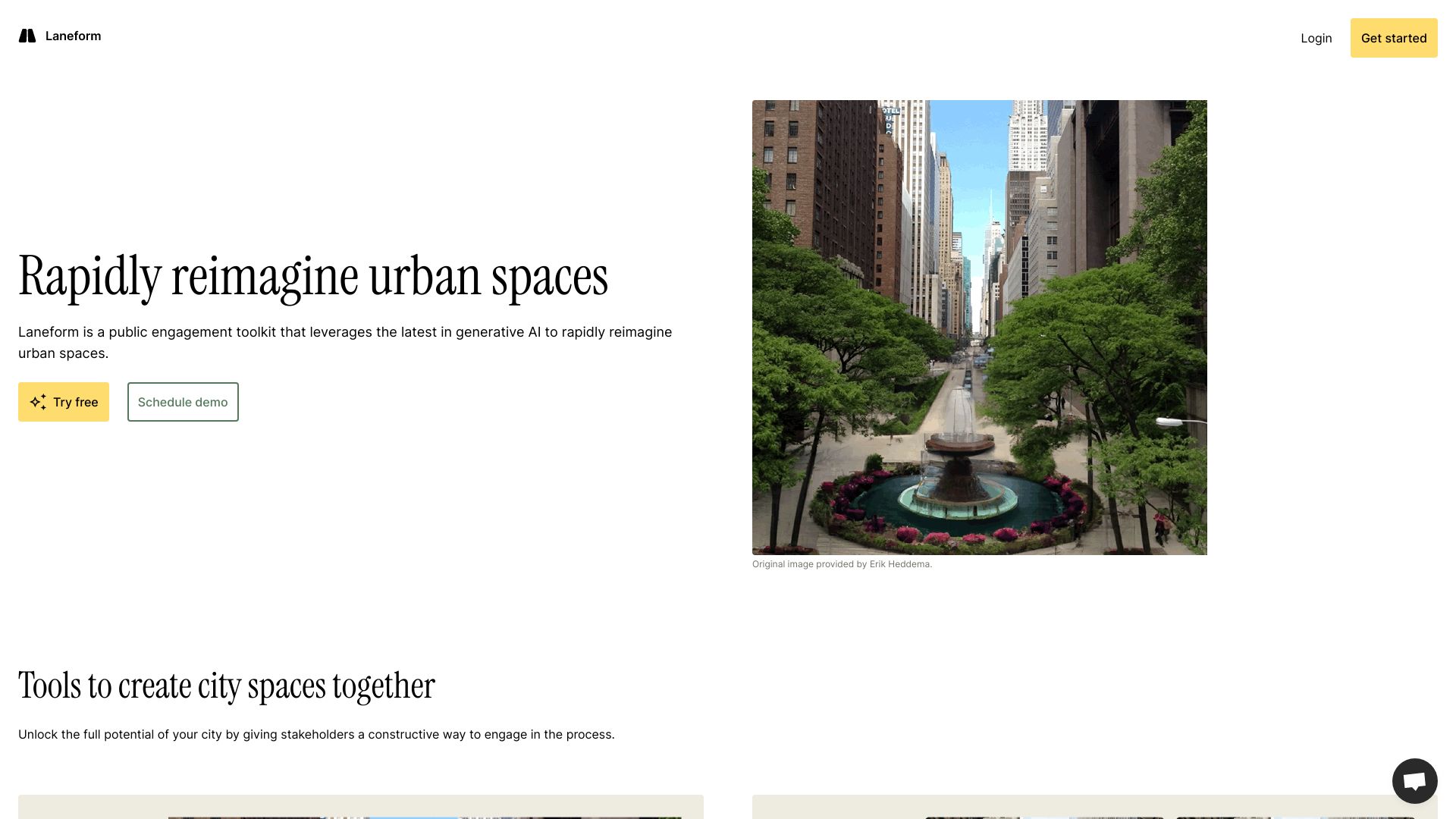
Laneform is a platform used by urban planners, developers, and civic leaders to create conceptual imagery and lead community members through an engaging visual survey.
Access & connections
Where you can use Laneform.
Platforms
Capabilities
What this tool accepts, produces, and is strongest at.
Highlights
- Conceptual imagery creation for urban planning
- Interactive visual surveys for community engagement
FAQ 4
What is Laneform?
Laneform is a platform used by urban planners, developers, and civic leaders to create conceptual imagery and lead community members through an engaging visual survey.
How to use Laneform?
Urban planners, developers, and civic leaders use Laneform to create visual representations of urban plans and then engage community members through interactive visual surveys to gather feedback and support.
Who uses Laneform?
Urban planners, developers, and civic leaders use Laneform.
What is Laneform used for?
Laneform is used to create conceptual imagery and lead community members through an engaging visual survey.
Related tools
Recommended

MenuForma ✓
FreemiumYour restaurant menu, digital and instant.

APIMart ✓
UnknownOne API for 500+ AI models at 70% less cost.

Flowith AI ✓
FreemiumUnleash deep work with AI-powered flow.

Raccoon AI ✓
FreemiumThe AI Coworker for Apps, Research, Docs & Everything Else

Easy-Peasy.AI ✓
FreemiumAccelerates content creation.
Laneform