

Archistar ✓
Maximize profit, minimize risks in property development.
Trial; then from $95/mo
Verdict
A quick read before you dig into the full page.
- Best if
- Maximize profit, minimize risks in property development
- Skip if
- Limited seismic risk analysis
- Pick this when
- Fast site assessment
Considering JudeAI instead? Compare side by side
Overview
Archistar is an all-in-one property development tool designed to maximize profit and minimize risks associated with property development. It offers functions for fast site assessment, simplified design and analysis, and risk minimization.
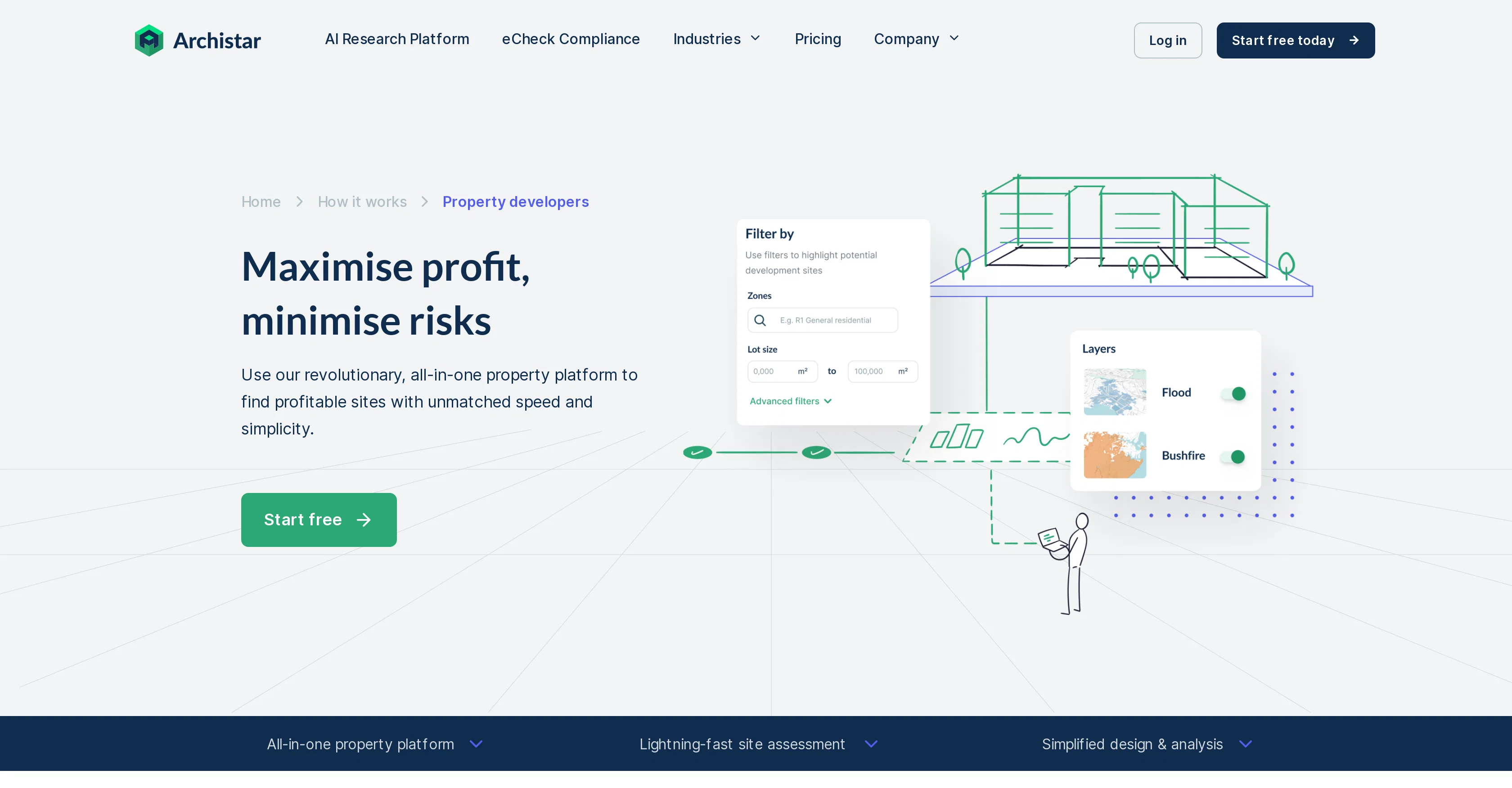
The platform consolidates crucial planning rules from numerous sources, allowing users to understand factors such as slope, bushfires, floods, transmission lines, heritage and environmental layers affecting potential development sites.
Information on the market, median prices, sold properties and nearby developments is also provided, giving users insight into local precedents and market trends.
Archistar offers a high-resolution aerial imagery feature, which allows users to survey a site remotely and identify potential issues. It also includes a design generator that creates building options while respecting site rules and restrictions, plus options for design analysis and running static feasibility analysis on designs.
Specific tools include development potential assessment, an efficient dashboard for portfolio management, feasibility checking, and generating a due diligence report.
This platform is meant for both professionals and businesses involved in property development.
Access & connections
Where you can use Archistar.
Platforms
Capabilities
What this tool accepts, produces, and is strongest at.
Input
- Geo
Output
- Tabular
- Text
- Image
Supported features
- Arhitecture & Interior design
Pros & cons
Pros
- Fast site assessment
- Simplified design and analysis
- Risk minimization functionality
- Consolidates planning rules
- Factors in environmental impacts
- In-depth local market data
- High-resolution aerial imagery
- Generates building designs
Show 18 more
- Aligns designs with site rules
- Runs static feasibility analysis
- Development potential assessment
- Efficient dashboard
- Generates due diligence reports
- Ideal for professionals and businesses
- Efficient portfolio management
- Instant remote site viewing
- Streamlines project workflow
- Bulk site assessments
- Customizable due diligence reports
- Exponential speed advantage
- Cost saving per project
- Potential increased ROI
- Training on platform use
- Coverage across Australia
- Data sourced from multiple partners
- Update dollar value in real-time
Cons
- No mobile version
- Limited international coverage
- Access to certain features tier-dependent
- Unclear data update frequency
- No direct APIs mentioned
- Reliance on external data sources
- Platform Training required
- Limited seismic risk analysis
Show 1 more
- No real-time market data
Compare alternatives
Similar tools in the catalog — with a clear reason to open each one.


Kolena AI for Real Estate ✓
UnknownTurn unstructured data into actionable insights
Why look Higher community rating
Full comparison

Leadflow ✓
Free TrialAI-powered lead generator for real estate investors.
Free + from $99/mo
Full comparison
Homesage.ai ✓
PaidAI-powered insights for real estate professionals
Why look Higher community rating
Full comparison
RealtyGenius ✓
FreemiumAI real estate assistant: Upload, chat, collaborate.
Why look Typically cheaper
Full comparisonReleases 1
Imported reviews 2
Went to developer page and link was broken.
This app is amazing if you're a property developer or real estate looking towards the future of developing a site! Would highly recommend!! Very easy to navigate and the 3rd party data add on services are incredibly insightful.
FAQ 12
What is Archistar?
How does Archistar help in property development?
How does Archistar minimize risks in property development?
What features does Archistar offer for fast site assessment?
What is the design generator feature in Archistar?
How does Archistar's high-resolution aerial imagery feature work?
Can Archistar help me understand market trends and local precedents?
What information does Archistar provide about potential development sites?
Who can use Archistar?
Can Archistar assist in portfolio management?
Is Archistar helpful for real estate developers?
What is a due diligence report in Archistar?
Related tools
Recommended

BotDojo ✓
UnknownThe Fastest Way to Build AI Agents

BetterDeal AI ✓
FreemiumFind hidden gem properties for real estate investing.

Markifact ✓
Free TrialYour daily app for digital marketing insights!

VenturusAI ✓
FreemiumBusiness idea analysis and reporting.

B12 AI Website Builder ✓
FreemiumAI-powered website builder

SEO Writing AI ✓
Freemium1-click SEO-optimized articles generation